A three-mile walk along the Ashton, Huddersfield Narrow, Peak Forest canals and River Tame. This is one of a series of walks designed to show you the world which is to be explored outside Portland Basin.
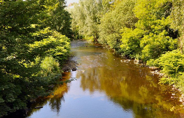
The route includes attractive paths along the River Tame, which flows for 21 miles from above Denshaw in Saddleworth to its confluence with the Goyt in Stockport, where it becomes the River Mersey.
Accessibility
As the route includes cobbles, stiles and steps, it is not suitable for wheelchair and pushchair-users.
How to get there
Portland Basin Museum is only 0.6 miles / 1 km from Ashton-under-Lyne Metrolink station, and a little further from the train station.
To work out how to get to and from the walk start point, simply click the Google Maps link on this page. Then click ‘Directions’ and enter your postcode or location in the relevant field. For public transport options, click on the train icon.