This downloadable leaflet is one of a series that describes some easy walks around some of Oldham’s fantastic parks and countryside areas. They are designed to show you routes that can be followed until you get to know the areas and can explore some of the other routes and places within the parks.
Waterhead Park
Waterhead Park was opened in 1926 and covers an area of 5 hectares. It has an open aspect with views across to Saddleworth Moor. In 2001, Oldham Council undertook a project to refurbish the park which included the provision of a multi-use games area, skate park, better play facilities and aesthetically pleasing soft and hard landscaping.
The park is home to Waterhead Rugby Club, which has a history of producing world class players that have gone on to enjoy great success in professional ranks.
Walks and accessibility
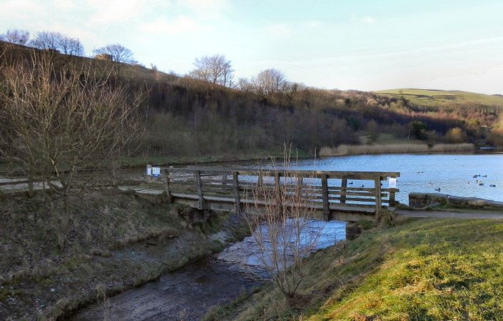
The leaflet outlines two walk options: a short “Green” route and a longer “Blue” route, which links with the walks described on the “Let’s Go for a Walk Strinesdale” page.
We understand that much of the shorter route within the main park are on well-surfaced paths (mainly but not all tarmacked) and will therefore be suitable for wheelchair and pushchair-users.
How to get there
Waterhead Park is well-served by buses. Alternatively, it is about 1 mile / 1.6 km on foot from Derker Metrolink station.
To work out exactly how to get to and from the walk start point, simply click the Google Maps link shown on this page. Then click ‘Directions’ and enter your postcode or location in the relevant field. For public transport options, click the train icon.