Leisurely

Mid Cheshire Rail Walks – Cornbrook to Manchester Piccadilly

Manchester

2.5 miles long

Castlefield #Manchester

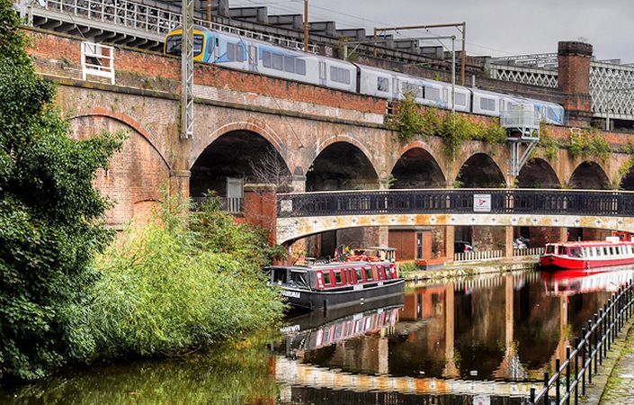
Bridgewater Canal, Slate Wharf Bridge and Castlefield Viaduct cc-by-sa/2.0 - © David Dixon - geograph.org.uk/p/5534502 – cropped from original

1 of 3

Overview

Note that due to the closure of the access to the canal from Cornbrook Metrolink station (as of March 2020), this route is now only possible in combination with the walk from Sale to Cornbrook. This creates a rather longer walk from Sale all the way to Piccadilly.

The Mid Cheshire Community Rail Partnership and the Mid Cheshire Rail Users’ Association (MCRUA) have created a booklet of walks from stations along the Greater Manchester part of the Mid Cheshire Line.

The walks in the booklet – which can be downloaded from the Mid Cheshire Rail website – consist of a series of fairly short walks, over generally easy terrain. What’s more, they are either circular walks from stations or between stations so that walkers can return to their starting point by tram or train.

While not very long, this walk passes a host of fascinating heritage features. We first follow the Bridgewater Canal to Castlefield – the cradle of the Industrial Revolution. Here, the route joins and remains on the historic Rochdale Canal all the way through Manchester City Centre. The walk is described on pages 22-24 of the downloadable booklet.

Walkers may wish to avoid the subterranean section of the canal between points 7 and 8 of the walk description because of reports of anti-social behaviour.

Each of the Mid-Cheshire rail walks can also be linked together to create longer routes. This route, for example, can be joined to the previous walk (from Sale) by staying on the canal at Cornbrook.

Accessibility and facilities

The canal sections of these walks these often feature steps and uneven, narrow towpaths. These walks are therefore not rated as accessible for wheelchair users or families with pushchairs.

Public toilets are available at the end of the walk in Manchester Piccadilly station. In addition, the route provides opportunities to access local cafes, restaurants and pubs.

How to get there

The walk starts at Cornbrook Metrolink station and finishes at Piccadilly Station, making it ideal for access by public transport.

To work out how to get to and from the walk start point and end point, simply click the Google Maps links on this page. Then click ‘Directions’ and enter your postcode or location in the relevant field. For public transport options, click the train icon.

Alternatively, input the postcode(s) shown on this page into the TfGM journey planner at https://my.tfgm.com/#/planner/

Share this Route