There is simply so much to see and do in Rochdale town centre and truly something for everyone. Why not start with an informative walk taking in many of Rochdale’s historic Parks and Gardens? This walk takes you across the town centre and introduces you to its rich historic and cultural heritage.
This new initiative builds upon a growing awareness that Rochdale was an internationally influential town of great wealth centred on the fording point on the River Roch. During the Industrial Revolution, Rochdale grew rapidly and the town centre was transformed into a remarkable and romantic Victorian town. The masterpiece of this urban landscape is the Town Hall (Grade I listed), designed by W.H. Crossland, which sits juxtaposed to the old town. Rochdale is also the town of the Rochdale Pioneers, Lord Byron, John Bright, John Collier and W.H. Crossland.
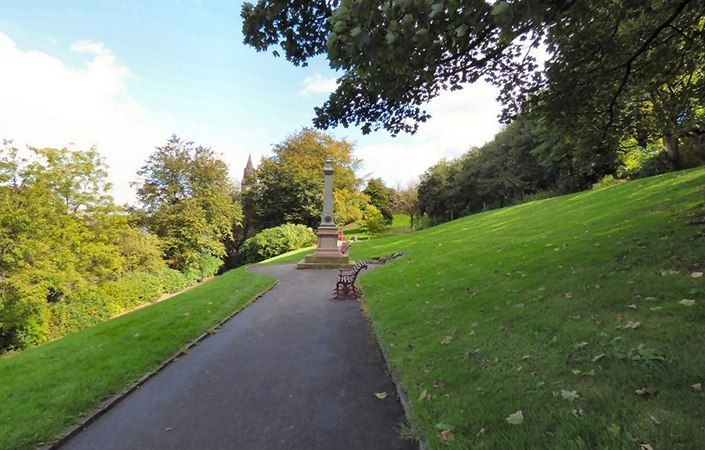
During the Victorian times, several parks and gardens were created in the town centre, which give Rochdale its unique character. Each park and garden has an interesting story to tell, and this trail will guide you to discover them.
This 40 min walk takes you to the finest Parks and Gardens of Rochdale town centre, and will make you discover their history and the best views. An alternative route (shown on the map) can also be followed for a shorter walk. The walk starts and finishes in front of the magnificent Town Hall. Each step of the walk is detailed in the downloadable leaflet.
Accessibility
Almost all of the walk is on paved and level surfaces and should be accessible for families with pushchairs and for wheelchair users with assistance. The last part of the walk, however, close to St Chad’s Church is steeper and there is a long flight of steps shown near point 20 on the map. A diversion could be made via Church Lane, though there will still be some gradients. Note that we have not been able to check conditions on the ground.
How to get there
To work out how to get to and from the walk start point, simply click the Google Maps link shown on this page. Then click ‘Directions’ and enter your postcode or location in the relevant field. For public transport options, click the train icon.